

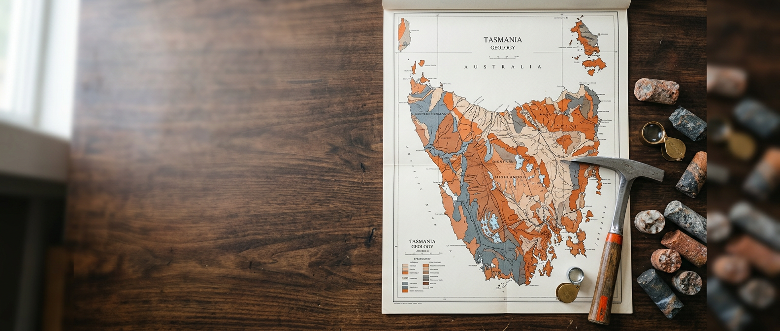
Geological consulting and regolith-terrain mapping
Unlock hidden potential in mineral exploration through advanced spectral imagery, landform analysis, and integrated fieldwork by Dr Richard Langford.
Comprehensive exploration services
Modern exploration demands an integrated approach. By bridging classical field mapping, regolith science, and cutting-edge remote sensing, we deliver practical insights to de-risk exploration projects and sharpen target generation.

Regolith-terrain mapping
Understand weathered profiles, landform evolution, and regolith distribution to interpret surface geochemical responses accurately.

Spectral and landform imagery
Innovative processing workflows reveal subtle mineralisation alteration halos and structural architecture often missed in standard data.

Geochemical pathway analysis
Trace element migration paths through complex regolith covers to avoid false anomalies and pinpoint true subsurface targets.

Geophysical data integration
Seamlessly integrate magnetic, radiometric, and gravity surveys with surface geology and high-resolution digital elevation models.
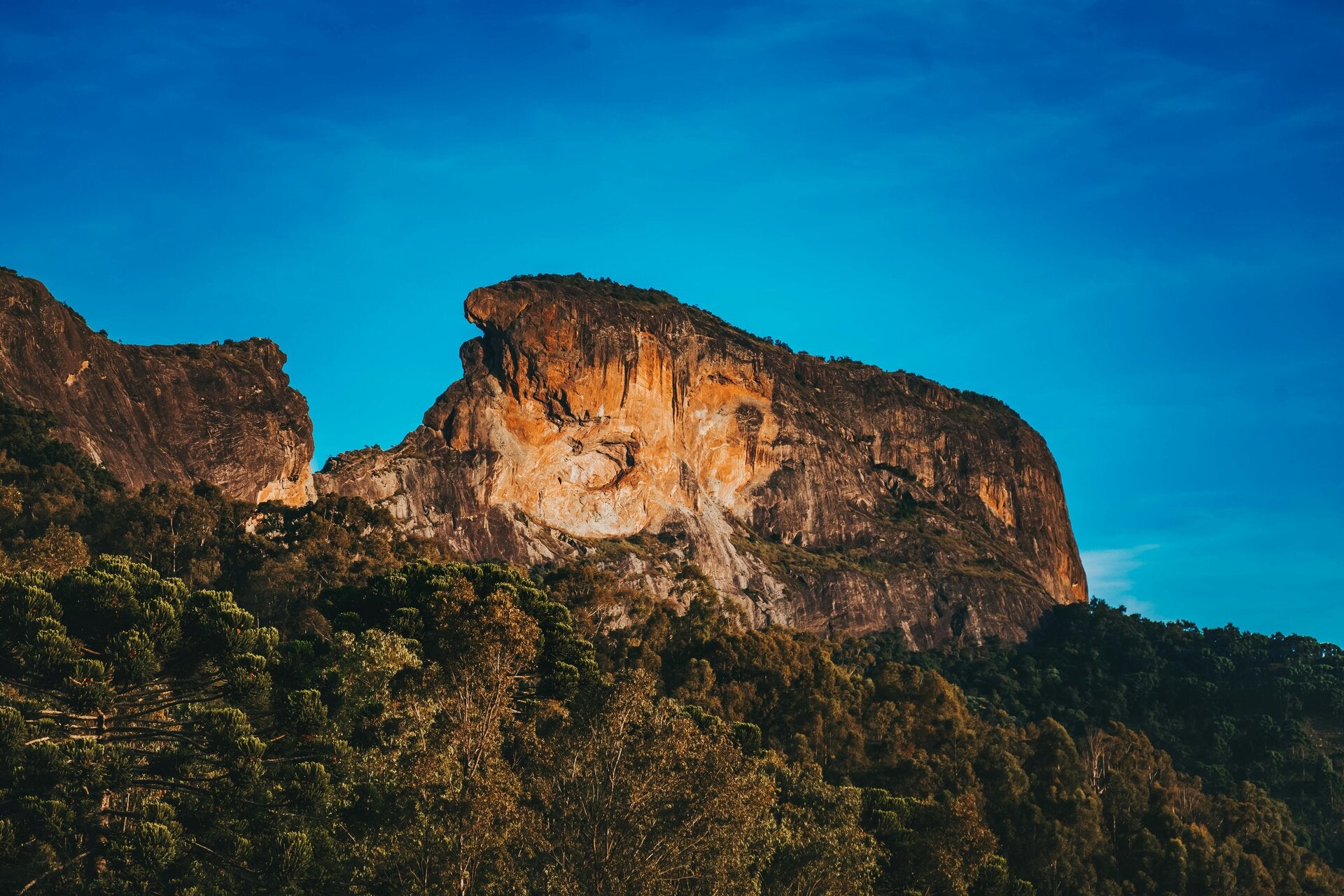
Decades of specialised geological expertise
Based in Geeveston, Tasmania, Dr Richard Langford provides independent geological consulting grounded in a deep understanding of regolith-landform dynamics. With decades of field experience and proprietary image processing techniques, Richard assists exploration companies in bridging the gap between surface cover and bedrock mineralisation.
Revealing structural and mineral alteration footprints
Innovative spectral enhancement algorithms and digital elevation processing illuminate subtle regional structures, hydrothermal alteration corridors, and regolith variations across exploration ground.

"Richard's regolith-terrain maps transformed our drill targeting campaign by resolving ambiguous surface geochemical anomalies in weathered terrain."
Exploration manager, Base metals explorer
"The enhanced spectral datasets provided by Dr Langford illuminated alteration vectors that were completely undetectable on standard imagery."
Chief geologist, Gold discovery venture
"Combining classical structural mapping with sophisticated regolith insights gave our technical team immediate clarity on regional mineral trends."
Technical director, Critical minerals group
Sharpen your geological target generation
Whether embarking on a greenfields exploration program or reinterpreting brownfields datasets, partnering with an expert in regolith-terrain systems ensures your exploration budget is deployed with maximum geological confidence.
Get in touch
Office location
Dr Richard Langford
Consulting Geologist
Geeveston, Tasmania 7116
Australia
Phone: [[phonenumber]]
Email: [[email]]